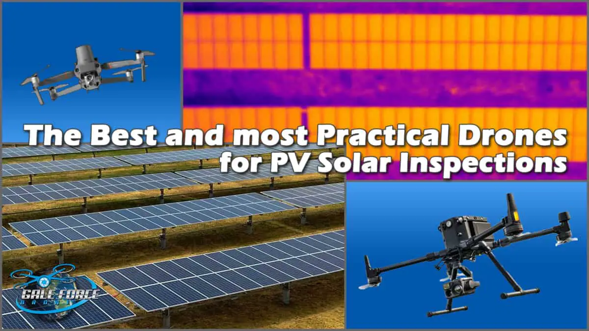
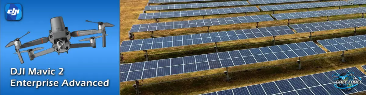
Since then, DJI has introduced the Mavic 2 Enterprise Advanced that has taken the portable drone platform to the next level. I was particularly excited about this as I was actually in the process of writing a proposal for an international client in India, to perform a large-scale PV Solar inspection in the Philippines.
I needed to be able to provide a drone solution to a local drone team as part of the contract and this drone was exactly what we needed. Because of it’s small size, it would not break the bank to ship the “drone kit” from the U.S. to the Philippines. And, it worked well with the team in terms of transporting to the location of the solar. Based on that story, you may jump to the conclusion that the M2EA drone is my top pick based on the criteria of this article. It’s definitely in the top 3, but continue reading for my top recommendation and the reasons why. 

The next super portable that we are discussing is the Autel EVO II Dual. This drone is similar to the DJI M2EA in that it has a dual sensor with integrated visual and thermal sensors.
Autel Robotics EVO II Pro RTK
– Key Features
- 1/2 inch CMOS; 20M effective pixels, w/1-8x (Max 4x lossless) zoom
- FLIR Thermal Imaging Sensor (640×512 @30Hz)
- RTK Module
- 5.5-Mile (9 km) Transmission Range
- 36-Minute Max Flight Time
- 32GB of Password-Protected Storage
- Spotlight, Speaker, and Beacon Included
- Remote Controller Included
 Speaking as a UAV or Drone strategist and consultant, I approach these discussions from a “big picture” perspective. I understand that O & M professionals who are managing their solar farms, as well as DSP’s, will all have varying opinions on this particular topic. I like to say that sometimes, the best solution may not be the most practical, and the most practical solution may not be the best. As I stated earlier, these determinations are really dependent on the specific requirements laid out by the solar farm operator in terms of what they need from the inspection.
I have tremendous respect for the expertise that drone operators develop while working day in and day out in the field. There is no knowledge that can match with field experience. So in speaking from the drone operators perspective, I am not suggesting that any particular methodology or equipment platform is the ONLY way to go. Instead, I am offering that taking a look at these smaller drone platforms might, in some cases, be a more practical solution than what we are accustomed to with the bigger drones.
 It could be argued that investing in these portable and integrated drone platforms could limit our capabilities and thus, our service offerings. It does seem that these drones are more purpose built, but… maybe not. In the list below, are many services that can be performed with these portable drones.
| -Real estate | -Marketing | -Filmmaking | -Journalism |
| -Search and Rescue | -Energy | -Telecom | -Education |
| -Public safety | -Transportation | -Natural Disaster Response | |
| -Crime Scene Mapping | -Insurance (claims adjusting) | ||
| -Infrastructure Inspections (Pipeline, Bridges, Railroads, Utility towers) | |||
| -Construction (site progress monitoring) -Stockpile Measurement | |||
Again, the best and most practical drones for PV Solar Inspections are determined by the client requirements, project scope, and factoring in transportation and travel variables or limitations. Simply said, bigger drones and the associated equipment may be best, but not as practical when compared to these ultra-portable drone platforms that can perform perfectly within the required specifications and scope of the inspection.
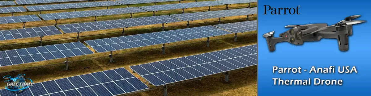
My 3rd recommendation comes in at a lower price, and with a lower spec when compared to the DJI and Autel Robotics options detailed above. I list all of the technical specs for this drone below, but the biggest difference is with the thermal sensor. The industry standard resolution is 640 x 512, where this drone only offers 320×256. So what’s the difference and why does this matter?
What resolution is best for thermal PV Solar inspections?
Here’s what Flir says. There are a few considerations that will help you determine what resolution thermal sensor you need. 1) what you are shooting, 2) the distance you are shooting, and 3) how much detail do you need in the image. If you are trying to detect an anomaly, a single pixel might be satisfactory. If you need to be able to determine if the anomaly is a human or animal, a fire or embers, or in our case, a hot spot on a PV solar module, is when you will need the higher resolution. More pixels will help to identify more about the anomaly as well.
So, as I have already spoken to, there are varied requirements or expectations for a given PV Solar inspection project. Perhaps you are the owner of the solar farm, and you want to perform the inspections yourself, this drone will not hit the CAPEX budget as hard as the others, and it can actually deliver great visual and thermal imagery, and possibly all you need.
Parrot Anafi USA Thermal Drone
– Key Features
- 1/2” CMOS, Effective Pixels: 21 MP
- FLIR Boson Thermal Imaging Sensor (320×256)
- 2.5-Mile (4km) Transmission Range
- 32-Minute Max Flight Time
- Remote Controller Included
Scopito | Welcome to the future of visual inspections.
At Scopito, we are experts at digitizing your assets. Our platform uses automation and Machine Learning to derive all-important insights from your geospatial data. Over time, your historic inspection data will become the catalyst for powerful predictive maintenance.